The Netherlands are surrounded by water. In fact, most of the country is below sea level and flat. The North Sea is the major body of water that is the full water boundary of the country in addition to many rivers that run through the country to the sea. As we made our way to our afternoon destination, the town of Bruinisse, we went through many locks. Our ship was always with another big ship as we crossed various changes in water level. Having been through the Panama Canal recently, I knew what to expect and yet it was still great fun to watch the crew tie the boat against the lock wall.

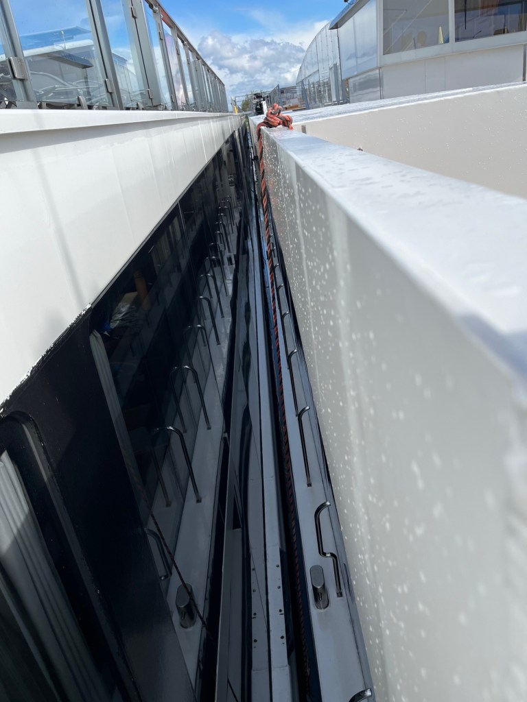
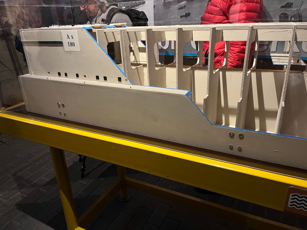
When we reached our dock area, we were the 3rd boat to tie up in a raft (the term used when boats are tied up next to one another). In order to get off the ship, we had to climb to the top deck of our ship, cross a plank, go downstairs on the inside of the next ship, cross the center corridor of another ship and down a gangplank to the dock. I signed up to visit the flood museum and visit the delta project that was put in place after the disastrous 1953 flood. On February 1,1953 there had been a persistent storm with Force 7-8 winds from the northwest which is open to the North Sea. Force 7 winds are normal here. Beaufort wind scale puts Force 7-8 at 28-40 knots. The wind picked up to Force 10, hurricane force (50 knots plus) pushing water over the poorly maintained dykes. People awoke to several feet of water in their houses along the southwest coast. Many people were unable to escape the rising waters. The houses had windowless attics used for storage so that climbing to the attic gave no way out. In all, 1835+1 deaths occurred. The +1 was a baby who had just been born but hadn’t yet been registered in city records so it was not always counted.
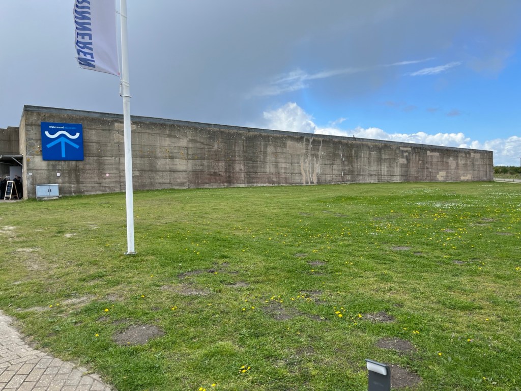
We visited one of the huge dykes built to control flooding. It is open unless wind driven water threatens the area. There is a 25 km current under the bridge with each change of tide. The construction used caissons that were leftover from the British invasion of Normandy. They were brought into place, allowed to sink from small holes drilled at the bottom and then filled with sand to keep them in place against the very strong tides.


As we left the dyke area, there was a big rainstorm. We were happy to be inside the bus. And then there was a rainbow.

We returned to the ship. On the dock there were large bags filled with black ropes that are used and recycled for mussel cultivation. The area is known for its excellent mussels. But the season for them is several months away. Too bad.

After dinner we played rummikub. I moved many pieces, tried to use the joker and was told it was wrong…so we gave up and went to bed. Tomorrow we will be in Antwerp.

Sounds like you’re having a great trip. I hope to hear about it in person when you get home.
LikeLike